Welcome to Year 2 2023-2024.I hope you have all enjoyed your Easter half term!
Here is some information you may find useful which is updated every half term (Summer term 1):
Creative... more
 ,
,  ,
,  ,
,  ,
,  ,
,  ,
,  ,
,  ,
,  ,
,  ,
,  ,
,  ,
,  ,
,  ,
,  ,
,  ,
,  ,
, 
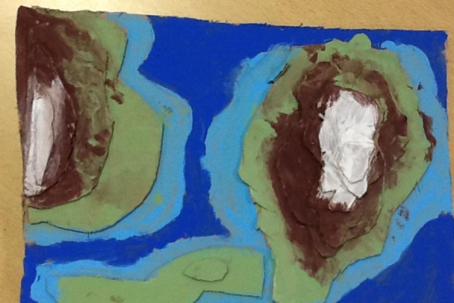
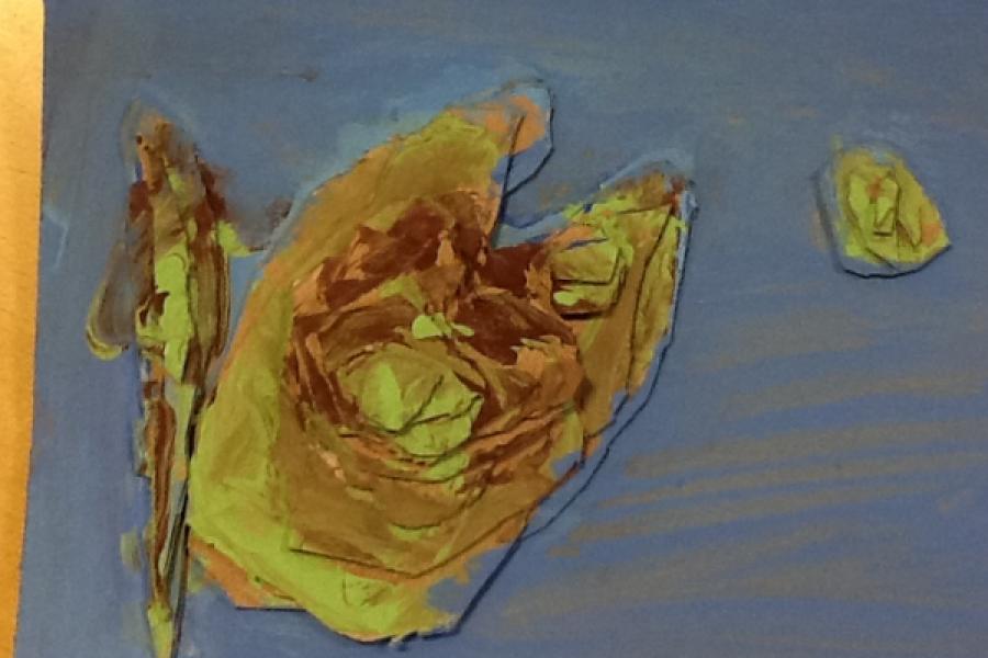
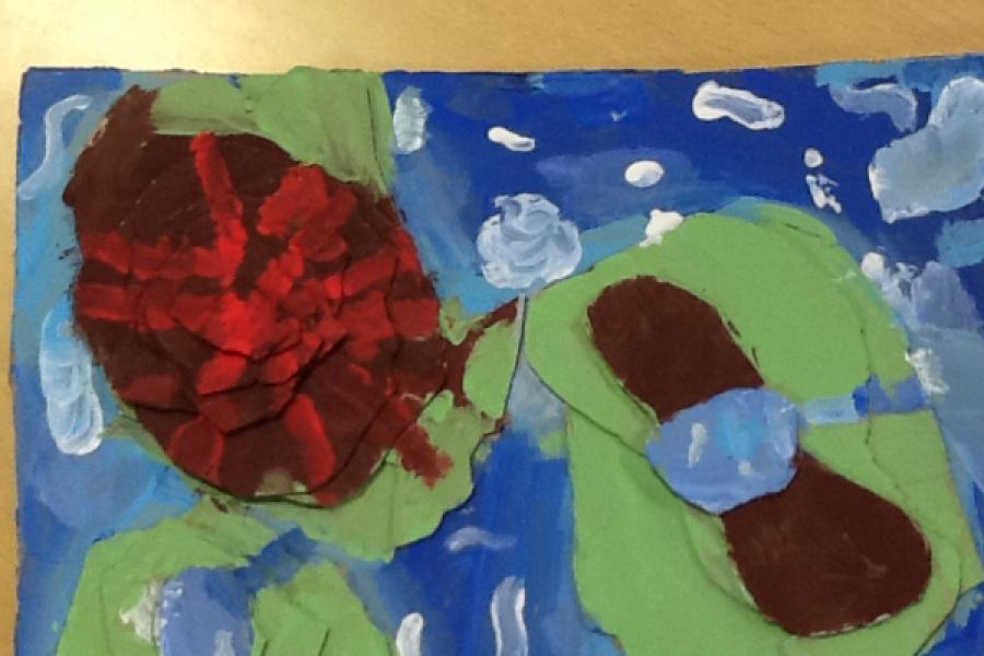
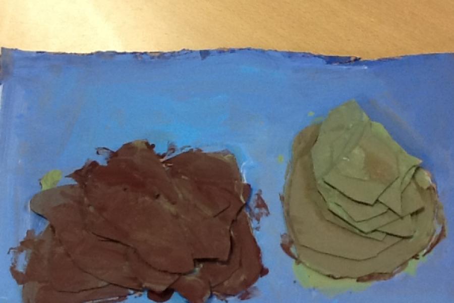
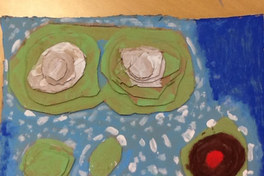
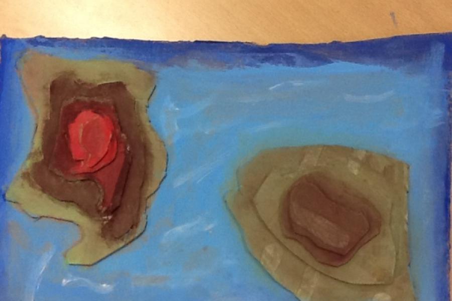
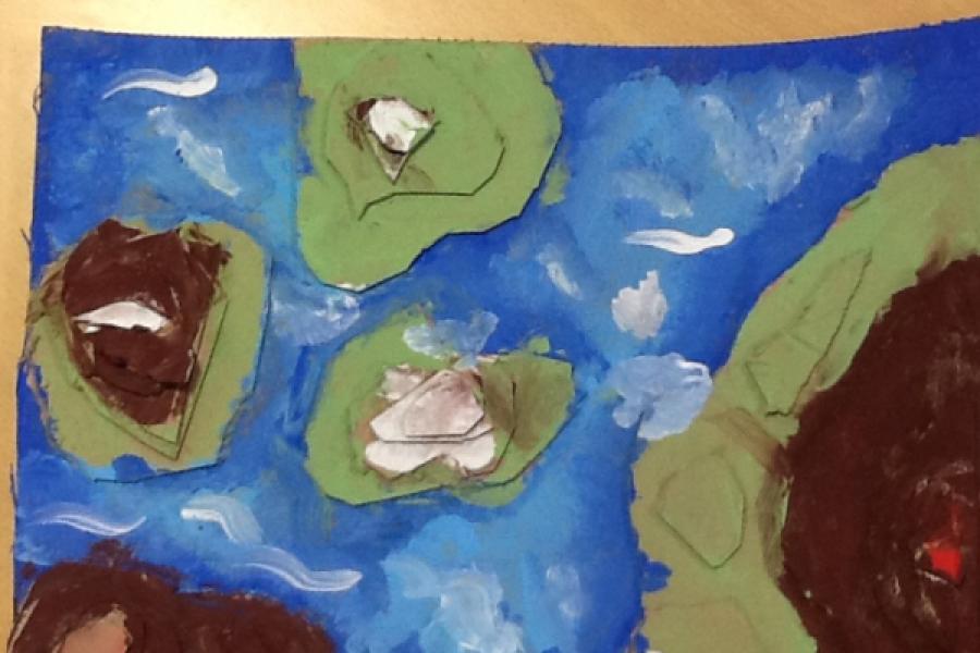
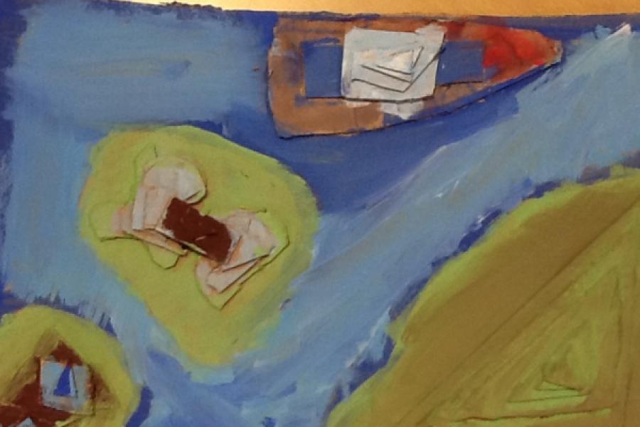
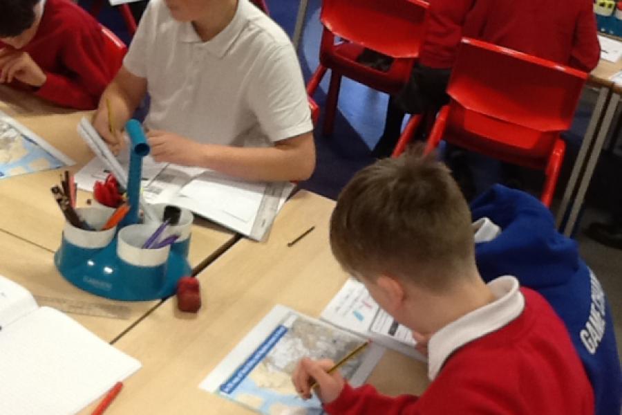
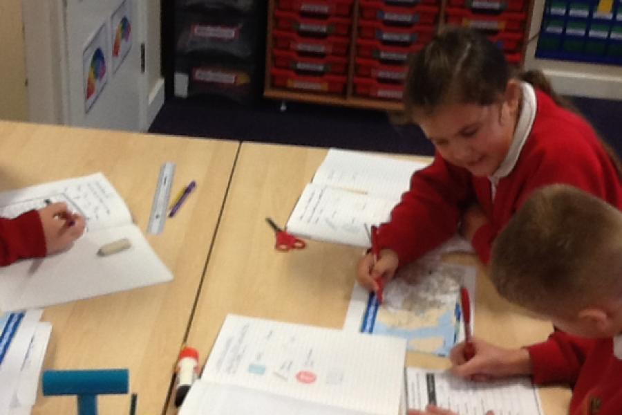
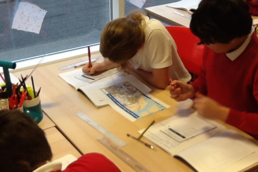
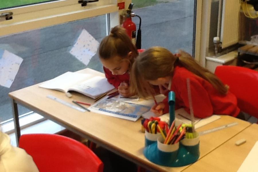
Year 6 have enjoyed our geography unit on using different types of maps. The children can locate places using Google Earth and had the chance to use the measure tool to estimate and measure the perimeter of iconic buildings. We have found out about Ordnance survey maps and how to use 4 and 6 figure grid references- we used Purple Mash to use our map skills to locate cities in the UK and countries across Europe. We then created our own 3D contour maps to show height on a map- we will use these 3D islands to help us create our dinosaur narratives next week.